Hydrology
Hydrology is the branch of science that studies water: its flow, the elements it carries along, its properties, its effects... On the Domain, scientists are busy studying the river, the rainwater that infiltrates the limestone rock and travels to the Cave but also the phreatic table's underground waters.
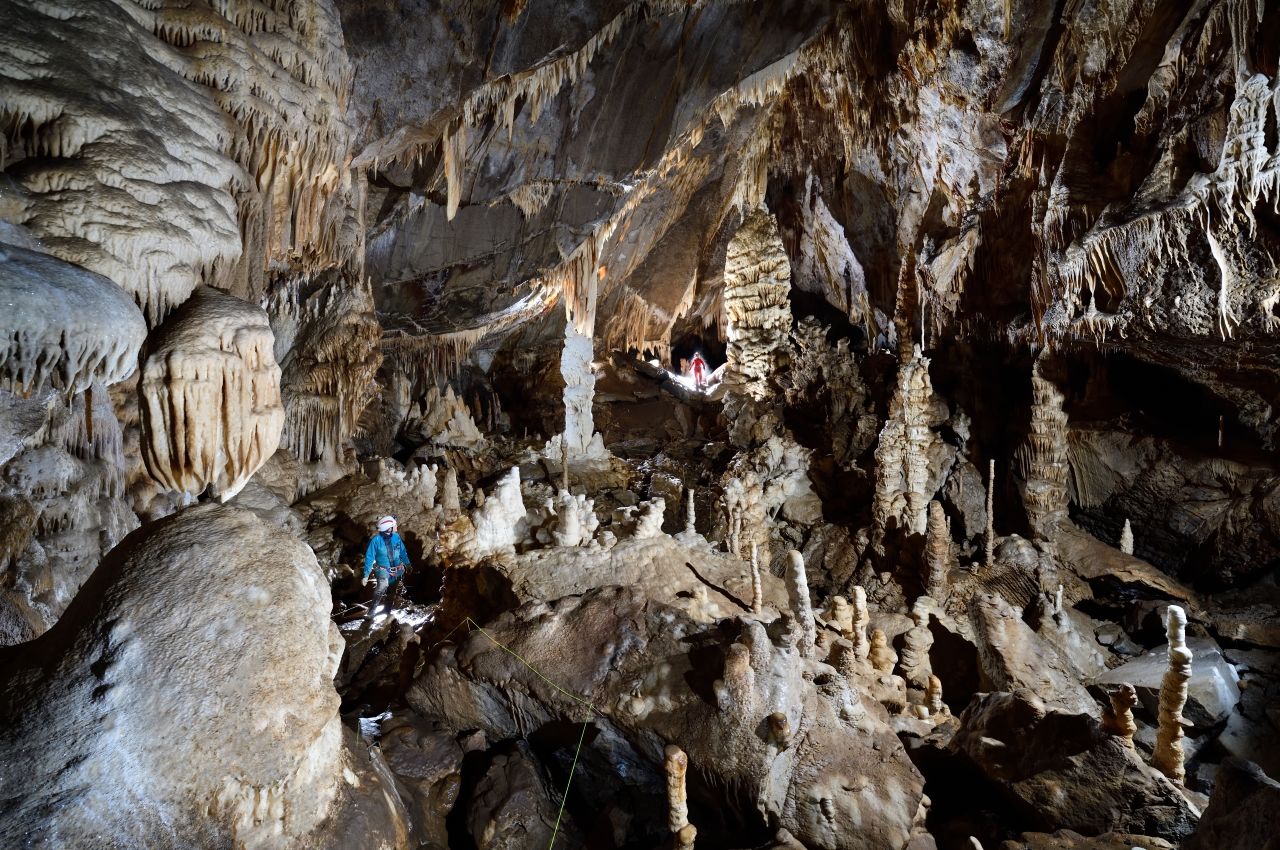
An extraordinary artist
The artist behind the incomparable geological gems in the Cave is... water! With infinite patience, over a period of millions of years, water has sculpted and carved the Cave's galleries, chambers and concretions.
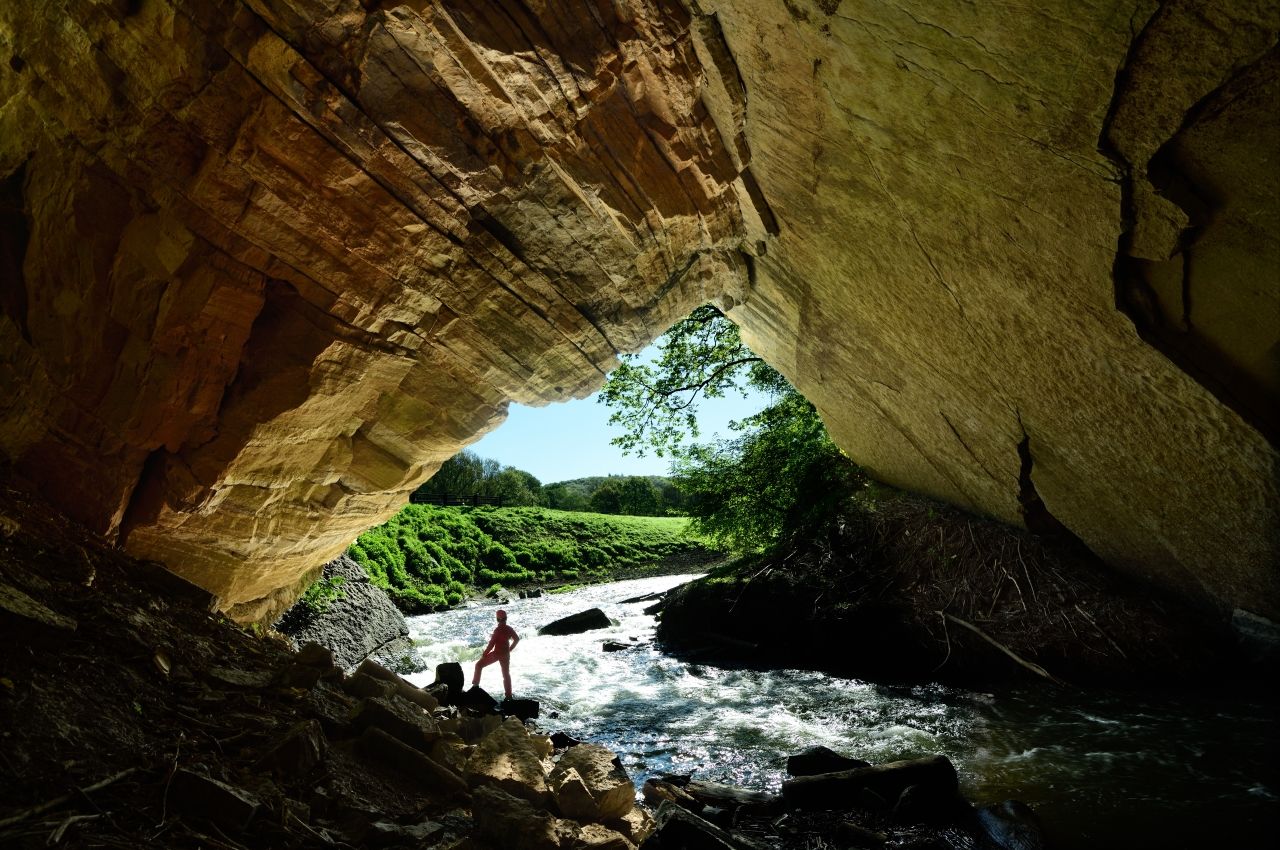
Water plays a key role on the site of the Domain of the Caves of Han... The Lesse river completely disappears underground at the Chasm of Belvaux, located in the heart of the Wildlife Park, then resurfaces on the other side of the hill, at the Trou de Han (Hole of Han). It's a phenomenon that is unique in Western Europe, for a river of that size. Discover the extraordinary journey of the river Lesse:
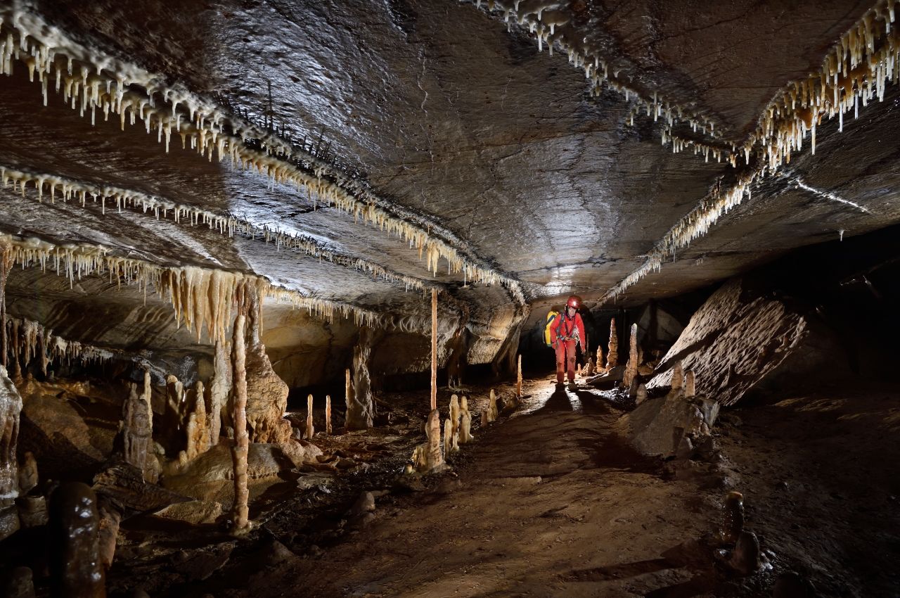
It all started with small cracks...
In the course of time, the natural cracks in the rock have undergone two different “attacks” by water:
- A chemical attack, called corrosion. The rain water seeps through the humus, and in doing so becomes slightly acidic. Under the action of the water travelling downwards the limestone rock is dissolved, widening the cracks in the rocks. This phenomenon began 130 million years ago, and is also at the root of the formation of the Caves' concretions;
- A mechanical attack, known as abrasion. More than 2 million years ago, when the river Lesse took its underground course and penetrated into the Boine Massif, the friction of the water and the particles carried along by the water have weathered the rock faces. The oldest traces of water travelling in the Cave are pebbles that date back to 1,69 million years ago.
These two attacks combined contribute to the global phenomenon of erosions that forms caves.
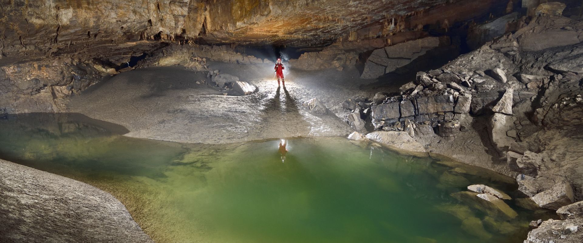
A subterranean river
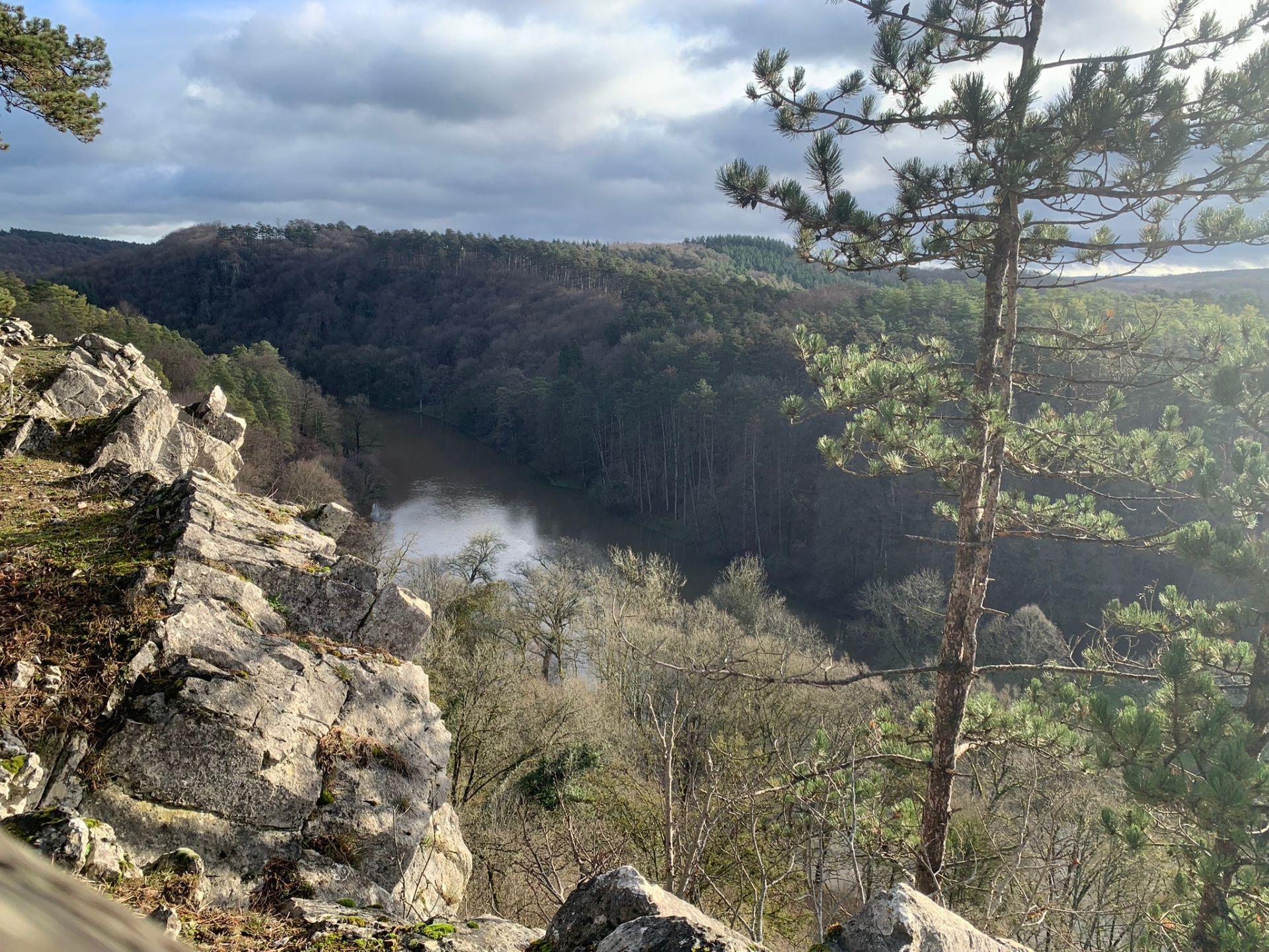
A long time ago, the Lesse formed a huge meander on a vast plain devoid of hilly areas. When the Ardennes was uplifted under the effect of tectonic movements, the river carved out the rocks on which it was flowing, creating the landscape of hills and valleys that surrounds us today. The Boine hill, made of limestone, was located in one of the meanders in which the river used to flow. As the years went by, the river carved its way through the hill, eventually cutting off one of its own underground meanders, playing a key role in the formation of the Cave.
This is one of the two categories of underground rivers: the hydrogeological sytem of meander cutoff. The other hydrogeological system is the swallow hole-resurgence, when a river, flowing in a straight line, flows underground, without cutting off a meander.
.jpg)
The Chasm of Belvaux
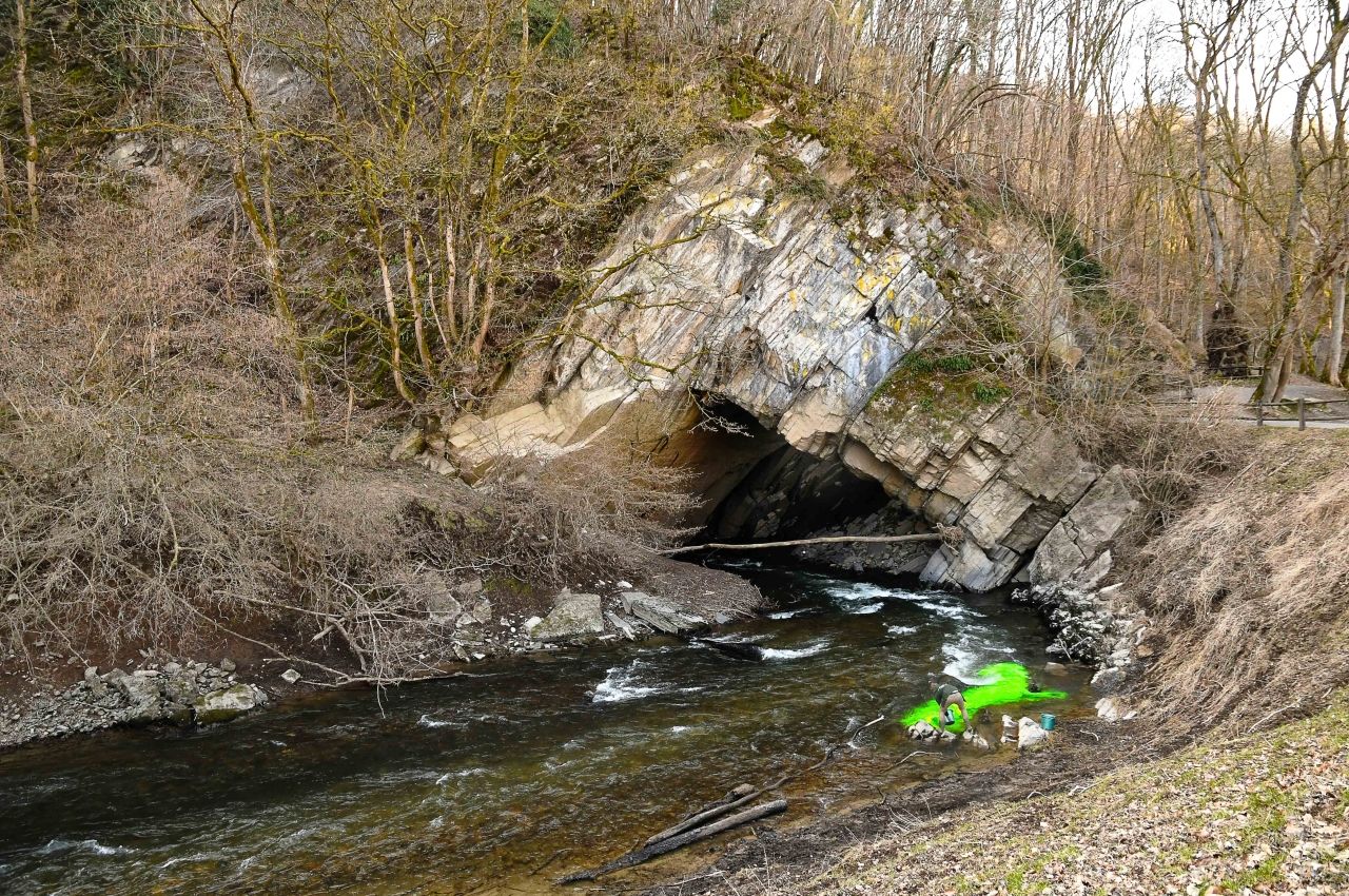
The Chasm of Belvaux, a geological gem, is located in the heart of our stunning Widlife Park. The river disappears through this swallow hole into the limestone soil through a vertiginous siphon that is 45m deep. This is the main sinking river (also known as a “losing stream or disappearing river”), that disappears into the Boine Hill. This refers to the place the river disappears underground. In the past, the river disappeared underground via other swallow holes in the massif.
Spectacular rising water
Each year, after heavy rainfall, the debit of the Lesse increases. In the Wildlife Park, when the river exceeds the maximum absorption capacity of the Chasm of Belvaux (approximately 27.000 liters per second), the water level rises. The river Lesse then bursts its banks and flows back into its former river bed, flowing around the Boine hill, and following old swallow holes in the massif, like the Trou d'Enfaule. The locals then say that the “Lesse has turned”. Its girth can then measure over 11,5 meters.
Under the porch of the Chasm of Belvaux, you can see horizontal lines traced by the impressive floods that occur almost every year...
Continual monitoring
As part of a global monitoring of the Cave, we are constantly measuring the river's temperature at several locations in the Cave. This has allowed us to observe that the temperature of the river Lesse varies between 1 and 18 degrees depending on the season. The temperature of the river is more or less the same outside the Cave as during its short journey through the Cave.
The underground course of the river Lesse stretches out over almost 2 km, starting from the Chasm of Belvaux and finishing at the Cave exit, the Trou de Han (Hole of Han). It takes the river water anything from 3 to 36 hours to cross the Cave, depending on its debit. We know this how? Thanks to a scientific experiment! A dye tracer is poured in the water, and then the underground journey and flow is analysed, measuring the time it takes the river to flow from the Chasm to the Cave exit.
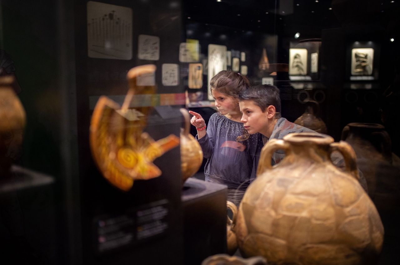
Guardian of the past
The river is also the guardian of the traces of the past. Lying underwater and protected by sediments, artefacts from the past are shielded from daylight and oxygen, which preserves them from decay. A wealth of objects have been found on the riverbed near the Trou de Han, where the Lesse resurfaces. These objects testify to the fact that humans have been occupying the Cave for over 10.000 years.